
Thank you for supporting this site ❤️
Make a donation
Make a donation
Peoria topographic map
Click on the map to display elevation.
Thank you for supporting this site ❤️
Make a donation
Make a donation
About this map
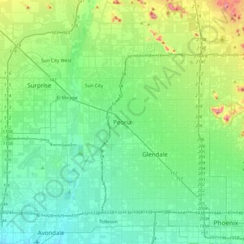
Name: Peoria topographic map, elevation, terrain.
Location: Peoria, Maricopa County, Arizona, 85345, United States (33.42061 -112.39729 33.74061 -112.07729)
Average elevation: 366 m
Minimum elevation: 286 m
Maximum elevation: 668 m
Thank you for supporting this site ❤️
Make a donation
Make a donation
Other topographic maps
Click on a map to view its topography, its elevation and its terrain.