
Tavernier topographic map
Interactive map
Click on the map to display elevation.
About this map
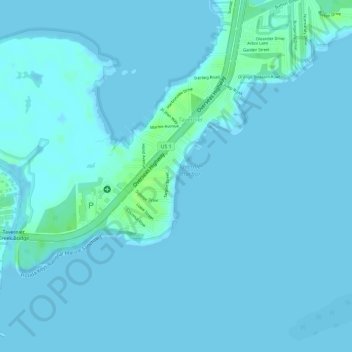
Name: Tavernier topographic map, elevation, terrain.
Location: Tavernier, Monroe County, Florida, 33070, United States (24.99939 -80.52998 25.01495 -80.50576)
Average elevation: 2 m
Minimum elevation: -1 m
Maximum elevation: 10 m
Other topographic maps
Click on a map to view its topography, its elevation and its terrain.
Tavernier
United States > Florida > Monroe County > Tavernier
Tavernier, Monroe County, Florida, 33070, United States
Average elevation: 2 m