
El Atteuf topographic map
Interactive map
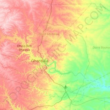
Click on the map to display elevation.
About this map
Name: El Atteuf topographic map, elevation, terrain.
Location: El Atteuf, Daïra Bounoura, Ghardaïa, 47012, Algérie (32.36604 3.70629 32.64891 4.20285)
Average elevation: 528 m
Minimum elevation: 386 m
Maximum elevation: 699 m