
Aracataca topographic map
Interactive map
Click on the map to display elevation.
About this map
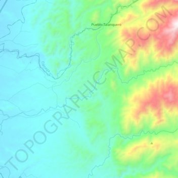
Name: Aracataca topographic map, elevation, terrain.
Location: Aracataca, Magdalena, Colombia (10.57040 -74.16196 10.62538 -73.98316)
Average elevation: 359 m
Minimum elevation: 33 m
Maximum elevation: 1,605 m