
Thank you for supporting this site ❤️
Make a donation
Make a donation
Reaster topographic map
Click on the map to display elevation.
Thank you for supporting this site ❤️
Make a donation
Make a donation
About this map
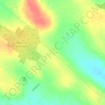
Name: Reaster topographic map, elevation, terrain.
Location: Reaster, Caithness, Scotland, KW1 4UF, United Kingdom (58.54913 -3.29232 58.58913 -3.25232)
Average elevation: 45 m
Minimum elevation: 22 m
Maximum elevation: 71 m
Thank you for supporting this site ❤️
Make a donation
Make a donation
Other topographic maps
Click on a map to view its topography, its elevation and its terrain.