
Baldoyle topographic map
Interactive map
Click on the map to display elevation.
About this map
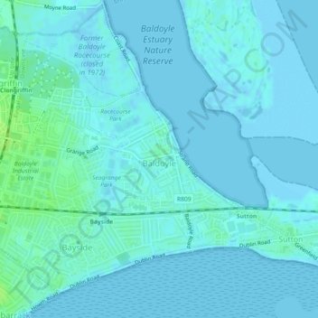
Name: Baldoyle topographic map, elevation, terrain.
Average elevation: 2 m
Minimum elevation: -2 m
Maximum elevation: 10 m
A description of Baldoyle from Lewis's Topographical Dictionary of Ireland (Dublin, 1837) gives a useful summary of what was then a substantial rural fishing village: