
Thank you for supporting this site ❤️
Make a donation
Make a donation
Castell topographic map
Click on the map to display elevation.
Thank you for supporting this site ❤️
Make a donation
Make a donation
About this map
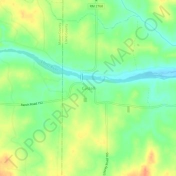
Name: Castell topographic map, elevation, terrain.
Location: Castell, Llano County, Texas, 76831, United States (30.68113 -98.97695 30.72113 -98.93695)
Average elevation: 370 m
Minimum elevation: 351 m
Maximum elevation: 392 m
Thank you for supporting this site ❤️
Make a donation
Make a donation