
永昌街道 topographic map
Interactive map
Click on the map to display elevation.
About this map
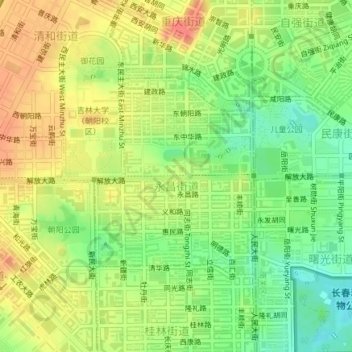
Name: 永昌街道 topographic map, elevation, terrain.
Location: 永昌街道, 朝阳区, 长春市, 吉林省, 130000, 中国 (43.86823 125.30134 43.88342 125.31848)
Average elevation: 226 m
Minimum elevation: 199 m
Maximum elevation: 250 m