
Thank you for supporting this site ❤️
Make a donation
Make a donation
Lindel topographic map
Click on the map to display elevation.
Thank you for supporting this site ❤️
Make a donation
Make a donation
About this map
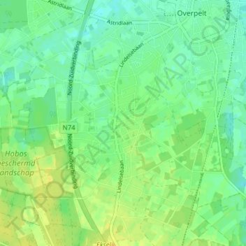
Name: Lindel topographic map, elevation, terrain.
Location: Lindel, Overpelt, Pelt, Maaseik, Limburg, 3900, België (51.17340 5.38525 51.21340 5.42525)
Average elevation: 49 m
Minimum elevation: 40 m
Maximum elevation: 60 m
Thank you for supporting this site ❤️
Make a donation
Make a donation