
Thank you for supporting this site ❤️
Make a donation
Make a donation
Atrin topographic map
Click on the map to display elevation.
Thank you for supporting this site ❤️
Make a donation
Make a donation
About this map
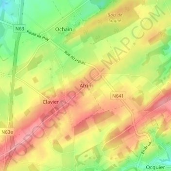
Name: Atrin topographic map, elevation, terrain.
Location: Atrin, Clavier, Hoei, Luik, Wallonië, 4560, België (50.39569 5.35044 50.43569 5.39044)
Average elevation: 278 m
Minimum elevation: 227 m
Maximum elevation: 322 m
Thank you for supporting this site ❤️
Make a donation
Make a donation