
磐石市 topographic map
Interactive map
Click on the map to display elevation.
About this map
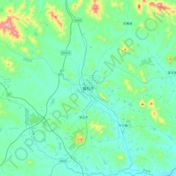
Name: 磐石市 topographic map, elevation, terrain.
Location: 磐石市, 东宁街道, 磐石市, 吉林市, 吉林省, 中国 (42.78097 125.89293 43.10097 126.21293)
Average elevation: 369 m
Minimum elevation: 282 m
Maximum elevation: 850 m