
Thank you for supporting this site ❤️
Make a donation
Make a donation
Overlea topographic map
Click on the map to display elevation.
Thank you for supporting this site ❤️
Make a donation
Make a donation
About this map
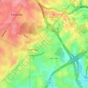
Name: Overlea topographic map, elevation, terrain.
Location: Overlea, Baltimore County, Maryland, United States (39.33475 -76.52972 39.38586 -76.50046)
Average elevation: 63 m
Minimum elevation: 8 m
Maximum elevation: 121 m
Thank you for supporting this site ❤️
Make a donation
Make a donation