
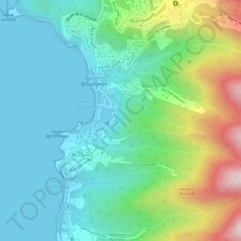
Vanier topographic map
Interactive map
Click on the map to display elevation.
About this map
Name: Vanier topographic map, elevation, terrain.
Location: Vanier, Bouillante, Basse-Terre, Guadalupa, 97125, Francia (16.11786 -61.77687 16.13786 -61.75687)
Average elevation: 127 m
Minimum elevation: 0 m
Maximum elevation: 441 m