
阿羌镇 topographic map
Interactive map
Click on the map to display elevation.
About this map
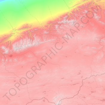
Name: 阿羌镇 topographic map, elevation, terrain.
Location: 阿羌镇, 且末县, 巴音郭楞蒙古自治州, Xinjiang, China (35.64112 84.21389 37.65449 85.67640)
Average elevation: 4,374 m
Minimum elevation: 1,395 m
Maximum elevation: 6,534 m