
Santiago de Pischa topographic map
Interactive map
Click on the map to display elevation.
About this map
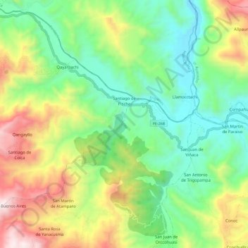
Name: Santiago de Pischa topographic map, elevation, terrain.
Location: Santiago de Pischa, Huamanga, Ayacucho, Perú (-13.15540 -74.41219 -13.02117 -74.29936)
Average elevation: 2,915 m
Minimum elevation: 2,354 m
Maximum elevation: 3,973 m