
Kangra topographic map
Interactive map
Click on the map to display elevation.
About this map
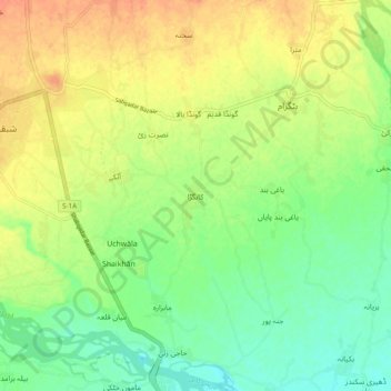
Name: Kangra topographic map, elevation, terrain.
Location: Kangra, Peshāwar District, Khyber Pakhtunkhwa, 24630, Pakistan (34.16085 71.56318 34.24085 71.64318)
Average elevation: 325 m
Minimum elevation: 306 m
Maximum elevation: 345 m