
Tarlton topographic map
Interactive map
Click on the map to display elevation.
About this map
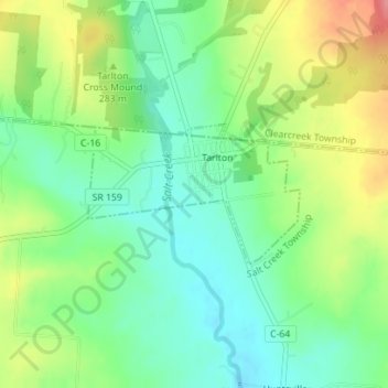
Name: Tarlton topographic map, elevation, terrain.
Location: Tarlton, Pickaway County, Ohio, 43156, États-Unis d'Amérique (39.54847 -82.78769 39.55824 -82.76857)
Average elevation: 287 m
Minimum elevation: 253 m
Maximum elevation: 342 m