
洋湖镇 topographic map
Interactive map
Click on the map to display elevation.
About this map
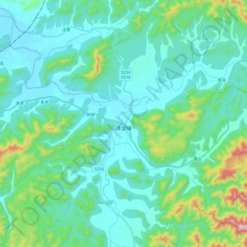
Name: 洋湖镇 topographic map, elevation, terrain.
Location: 洋湖镇, 东至县, 池州市, 安徽省, 247200, 中国 (30.09992 117.09723 30.26066 117.30319)
Average elevation: 130 m
Minimum elevation: 11 m
Maximum elevation: 728 m
Other topographic maps
Click on a map to view its topography, its elevation and its terrain.