
James F. Crowe Memorial Park topographic map
Interactive map
Click on the map to display elevation.
About this map
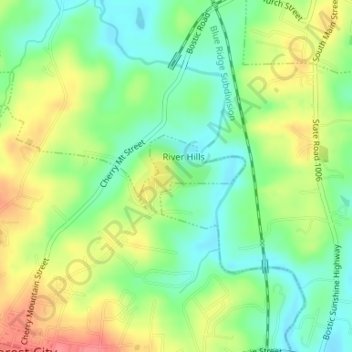
Name: James F. Crowe Memorial Park topographic map, elevation, terrain.
Average elevation: 274 m
Minimum elevation: 243 m
Maximum elevation: 315 m