
巴音锡勒镇 topographic map
Interactive map
Click on the map to display elevation.
About this map
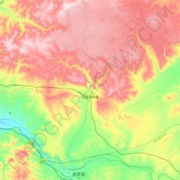
Name: 巴音锡勒镇 topographic map, elevation, terrain.
Location: 巴音锡勒镇, 卓资县, 乌兰察布市, 内蒙古自治区, 中国 (40.91338 112.48172 41.15292 112.88016)
Average elevation: 1,761 m
Minimum elevation: 1,347 m
Maximum elevation: 2,170 m
Other topographic maps
Click on a map to view its topography, its elevation and its terrain.