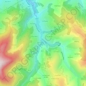
La Rive topographic map
Interactive map
Click on the map to display elevation.
About this map
Name: La Rive topographic map, elevation, terrain.
Average elevation: 682 m
Minimum elevation: 429 m
Maximum elevation: 1,074 m

Click on the map to display elevation.
Name: La Rive topographic map, elevation, terrain.
Average elevation: 682 m
Minimum elevation: 429 m
Maximum elevation: 1,074 m