
Whitehouse topographic map
Interactive map
Click on the map to display elevation.
About this map
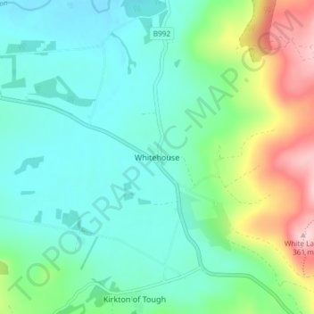
Name: Whitehouse topographic map, elevation, terrain.
Location: Whitehouse, Aberdeenshire, Scotland, AB33 8DJ, United Kingdom (57.20442 -2.65354 57.24442 -2.61354)
Average elevation: 181 m
Minimum elevation: 119 m
Maximum elevation: 362 m