
同乐 topographic map
Interactive map
Click on the map to display elevation.
About this map
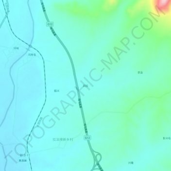
Name: 同乐 topographic map, elevation, terrain.
Location: 同乐, 拉法接新乡村, 拉法街道, 蛟河市, 吉林市, 吉林省, 中国 (43.78068 127.33827 43.82068 127.37827)
Average elevation: 309 m
Minimum elevation: 276 m
Maximum elevation: 493 m