
South Somerset topographic map
Interactive map
Click on the map to display elevation.
About this map
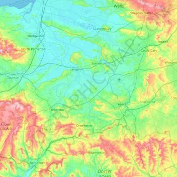
Name: South Somerset topographic map, elevation, terrain.
Location: South Somerset, Somerset, Zuidwest-Engeland, Engeland, VK (50.82084 -3.09244 51.14770 -2.32586)
Average elevation: 83 m
Minimum elevation: -2 m
Maximum elevation: 328 m