
Tröndel topographic map
Interactive map
Click on the map to display elevation.
About this map
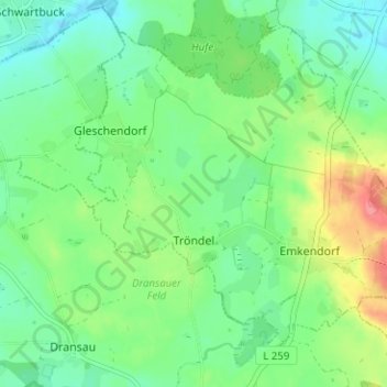
Name: Tröndel topographic map, elevation, terrain.
Location: Tröndel, Lütjenburg, Plön, Schleswig-Holstein, Deutschland (54.32479 10.48678 54.35655 10.54970)
Average elevation: 48 m
Minimum elevation: 24 m
Maximum elevation: 97 m