
高渡 topographic map
Interactive map
Click on the map to display elevation.
About this map
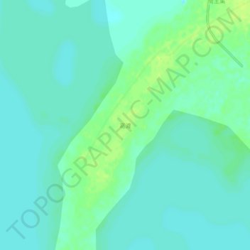
Name: 高渡 topographic map, elevation, terrain.
Location: 高渡, 宿迁市, 江苏省, 中国 (33.45701 118.61355 33.49701 118.65355)
Average elevation: 13 m
Minimum elevation: 8 m
Maximum elevation: 23 m
Other topographic maps
Click on a map to view its topography, its elevation and its terrain.