
Thank you for supporting this site ❤️
Make a donation
Make a donation
Owens Lake topographic map
Click on the map to display elevation.
Thank you for supporting this site ❤️
Make a donation
Make a donation
About this map
Name: Owens Lake topographic map, elevation, terrain.
Average elevation: 255 m
Minimum elevation: 222 m
Maximum elevation: 279 m
Thank you for supporting this site ❤️
Make a donation
Make a donation
Other topographic maps
Click on a map to view its topography, its elevation and its terrain.
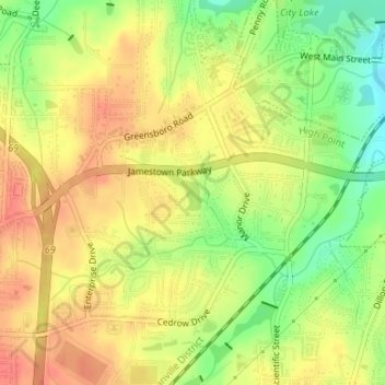
Oak Hollow Lake
United States > North Carolina > Guilford County > High Point
Average elevation: 261 m
Thank you for supporting this site ❤️
Make a donation
Make a donation