
Caminha topographic map
Interactive map
Click on the map to display elevation.
About this map
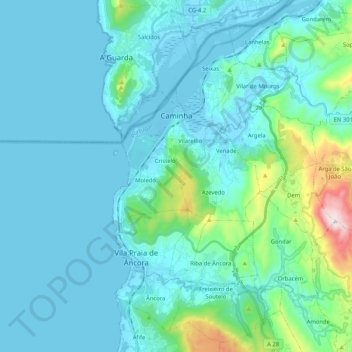
Name: Caminha topographic map, elevation, terrain.
Location: Caminha, Viana do Castelo, Alto Minho, Norte, Portugal (41.78075 -8.87686 41.91737 -8.67010)
Average elevation: 94 m
Minimum elevation: -3 m
Maximum elevation: 740 m
Other topographic maps
Click on a map to view its topography, its elevation and its terrain.