Geolocate

神池县 topographic map

Interactive map

Click on the map to display elevation.

About this map

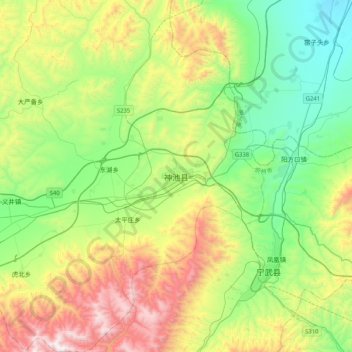
Name: 神池县 topographic map, elevation, terrain.

Location: 神池县, 忻州市, 山西省, 中国 (38.92668 112.03282 39.24668 112.35282)

Average elevation: 1,595 m

Minimum elevation: 1,113 m

Maximum elevation: 2,546 m

Other topographic maps

Click on a map to view its topography, its elevation and its terrain.

温岭

中国 > 山西省 > 神池县

温岭, 神池县, 忻州市, 山西省, 中国

Average elevation: 1,564 m

龙元村

中国 > 山西省 > 神池县

龙元村, 神池县, 忻州市, 山西省, 中国

Average elevation: 1,476 m

桥上

中国 > 山西省 > 神池县

桥上, 神池县, 忻州市, 山西省, 中国

Average elevation: 1,373 m

马坊

中国 > 山西省 > 神池县

马坊, 神池县, 忻州市, 山西省, 中国

Average elevation: 1,665 m