
Thank you for supporting this site ❤️
Make a donation
Make a donation
Menard topographic map
Click on the map to display elevation.
Thank you for supporting this site ❤️
Make a donation
Make a donation
About this map
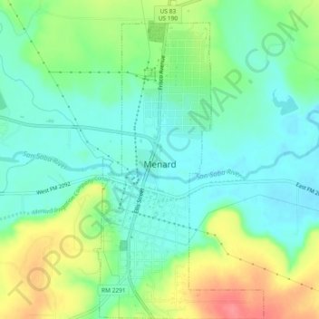
Name: Menard topographic map, elevation, terrain.
Location: Menard, Menard County, Texas, 76859, United States (30.90126 -99.79340 30.94079 -99.76876)
Average elevation: 593 m
Minimum elevation: 567 m
Maximum elevation: 643 m
Thank you for supporting this site ❤️
Make a donation
Make a donation