
Batère topographic map
Interactive map
Click on the map to display elevation.
About this map
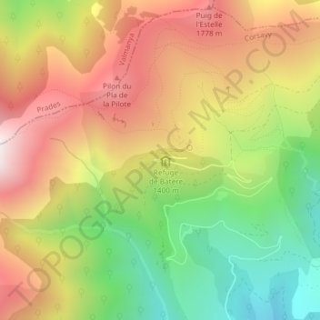
Name: Batère topographic map, elevation, terrain.
Average elevation: 1,431 m
Minimum elevation: 913 m
Maximum elevation: 1,943 m
Other topographic maps
Click on a map to view its topography, its elevation and its terrain.
Roca de l'Alias
France > Occitanie > Pyrénées-Orientales > Corsavy
Roca de l'Alias, Corsavy, Céret, Pyrénées-Orientales, Occitanie, France métropolitaine, 66150, France
Average elevation: 831 m