
Sri Telipok Baru topographic map
Interactive map
Click on the map to display elevation.
About this map
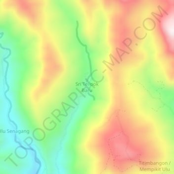
Name: Sri Telipok Baru topographic map, elevation, terrain.
Location: Sri Telipok Baru, Keningau, Sabah, Malaysia (5.33451 116.02724 5.37451 116.06724)
Average elevation: 755 m
Minimum elevation: 427 m
Maximum elevation: 1,116 m
Other topographic maps
Click on a map to view its topography, its elevation and its terrain.
Batu 16-18 Jalan Sook
Batu 16-18 Jalan Sook, Keningau, Interior Division, Sabah, Malaysia
Average elevation: 434 m