
拉智村 topographic map
Interactive map
Click on the map to display elevation.
About this map
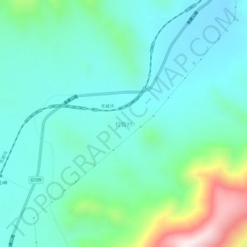
Name: 拉智村 topographic map, elevation, terrain.
Location: 拉智村, 唐古拉镇, 格尔木市, 海西蒙古族藏族自治州, 青海省, 中国 (34.07830 92.33614 34.11830 92.37614)
Average elevation: 4,836 m
Minimum elevation: 4,692 m
Maximum elevation: 5,358 m