
Орсичи topographic map
Interactive map
Click on the map to display elevation.
About this map
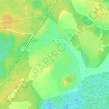
Name: Орсичи topographic map, elevation, terrain.
Average elevation: 143 m
Minimum elevation: 129 m
Maximum elevation: 154 m
Other topographic maps
Click on a map to view its topography, its elevation and its terrain.
Лоси
Беларусь > Могилёвская область > Бобруйский район > Брожский сельский Совет
Лоси, Брожский сельский Совет, Бобруйский район, Могилёвская область, Беларусь
Average elevation: 146 m