
Canejan topographic map
Interactive map
Click on the map to display elevation.
About this map
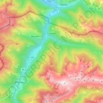
Name: Canejan topographic map, elevation, terrain.
Location: Canejan, Valle de Arán, Lérida, Cataluña, 25548, España (42.78811 0.72779 42.84895 0.87732)
Average elevation: 1,397 m
Minimum elevation: 539 m
Maximum elevation: 2,504 m