
Blasberg topographic map
Interactive map
Click on the map to display elevation.
About this map
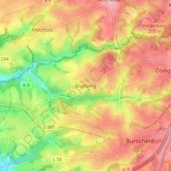
Name: Blasberg topographic map, elevation, terrain.
Average elevation: 174 m
Minimum elevation: 100 m
Maximum elevation: 227 m
Other topographic maps
Click on a map to view its topography, its elevation and its terrain.
Dürscheid
Deutschland > Nordrhein-Westfalen > Rheinisch-Bergischer Kreis > Burscheid
Dürscheid, Burscheid, Rheinisch-Bergischer Kreis, Nordrhein-Westfalen, 51399, Deutschland
Average elevation: 145 m