
Thank you for supporting this site ❤️
Make a donation
Make a donation
Wadersloh topographic map
Click on the map to display elevation.
Thank you for supporting this site ❤️
Make a donation
Make a donation
About this map
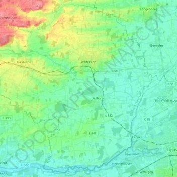
Name: Wadersloh topographic map, elevation, terrain.
Location: Wadersloh, Kreis Warendorf, North Rhine-Westphalia, Germany (51.65810 8.11614 51.77855 8.32009)
Average elevation: 87 m
Minimum elevation: 67 m
Maximum elevation: 146 m
Thank you for supporting this site ❤️
Make a donation
Make a donation