
Thank you for supporting this site ❤️
Make a donation
Make a donation
Ranogi topographic map
Click on the map to display elevation.
Thank you for supporting this site ❤️
Make a donation
Make a donation
About this map
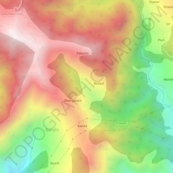
Name: Ranogi topographic map, elevation, terrain.
Location: Ranogi, Bandhi, Aut, Mandi, Himachal Pradesh, India (31.71707 77.11543 31.75707 77.15543)
Average elevation: 2,195 m
Minimum elevation: 1,499 m
Maximum elevation: 2,765 m
Thank you for supporting this site ❤️
Make a donation
Make a donation