
Glenns Ferry topographic map
Interactive map
Click on the map to display elevation.
About this map
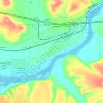
Name: Glenns Ferry topographic map, elevation, terrain.
Location: Glenns Ferry, Elmore County, Idaho, 83623, United States (42.93724 -115.33857 42.95987 -115.27995)
Average elevation: 798 m
Minimum elevation: 757 m
Maximum elevation: 878 m