
上田寮下村 topographic map
Interactive map
Click on the map to display elevation.
About this map
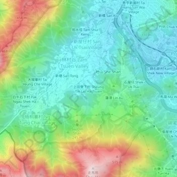
Name: 上田寮下村 topographic map, elevation, terrain.
Location: 上田寮下村, 社山村, 大埔區, 新界, 香港, 中国 (22.42492 114.12061 22.46492 114.16061)
Average elevation: 177 m
Minimum elevation: 1 m
Maximum elevation: 562 m