
Thank you for supporting this site ❤️
Make a donation
Make a donation
Zorra topographic map
Click on the map to display elevation.
Thank you for supporting this site ❤️
Make a donation
Make a donation
About this map
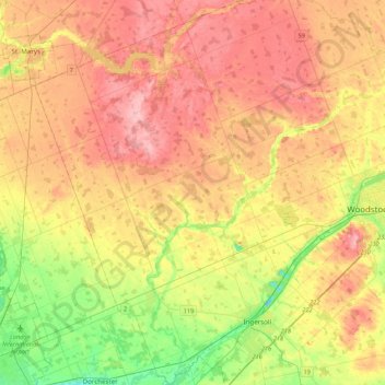
Name: Zorra topographic map, elevation, terrain.
Location: Zorra, Oxford County, Ontario, Canada (42.98565 -81.13225 43.30087 -80.80569)
Average elevation: 318 m
Minimum elevation: 242 m
Maximum elevation: 388 m
Thank you for supporting this site ❤️
Make a donation
Make a donation