
Punta Chancay topographic map
Interactive map
Click on the map to display elevation.
About this map
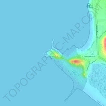
Name: Punta Chancay topographic map, elevation, terrain.
Location: Punta Chancay, Chancay, Huaral, Lima, Perú (-11.58708 -77.28241 -11.58531 -77.27853)
Average elevation: 4 m
Minimum elevation: -6 m
Maximum elevation: 80 m