
Lomas Este topographic map
Interactive map
Click on the map to display elevation.
About this map
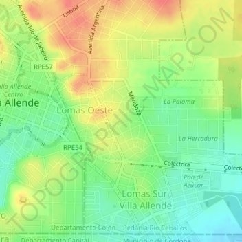
Name: Lomas Este topographic map, elevation, terrain.
Average elevation: 511 m
Minimum elevation: 485 m
Maximum elevation: 540 m
Other topographic maps
Click on a map to view its topography, its elevation and its terrain.
Arroyo Saldán
Argentina > Córdoba > Villa Allende
Arroyo Saldán, Villa Allende, Municipio de Mendiolaza, Departamento Colón, Córdoba, X5111, Argentina
Average elevation: 545 m