
Mtoa topographic map
Interactive map
Click on the map to display elevation.
About this map
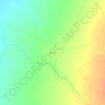
Name: Mtoa topographic map, elevation, terrain.
Location: Mtoa, Iramba, Singida, Central Zone, Tanzanie (-4.50001 34.17248 -4.46001 34.21248)
Average elevation: 1,115 m
Minimum elevation: 1,096 m
Maximum elevation: 1,135 m
Other topographic maps
Click on a map to view its topography, its elevation and its terrain.
Lake Kitangiri
Lake Kitangiri, Iramba, Singida, Central Zone, Tanzanie
Average elevation: 1,126 m