
Batanejos topographic map
Interactive map
Click on the map to display elevation.
About this map
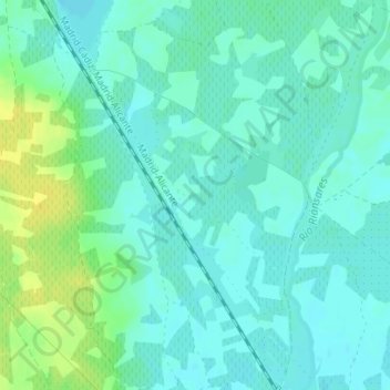
Name: Batanejos topographic map, elevation, terrain.
Location: Batanejos, Villacañas, Castilla-La Mancha, España (39.57093 -3.31806 39.59093 -3.29806)
Average elevation: 663 m
Minimum elevation: 656 m
Maximum elevation: 677 m
Other topographic maps
Click on a map to view its topography, its elevation and its terrain.
Sierra Morena
España > Castilla-La Mancha > Villacañas
Sierra Morena, Villacañas, Toledo, Castilla-La Mancha, España
Average elevation: 700 m