
Thank you for supporting this site ❤️
Make a donation
Make a donation
Hamont-Achel topographic map
Click on the map to display elevation.
Thank you for supporting this site ❤️
Make a donation
Make a donation
About this map
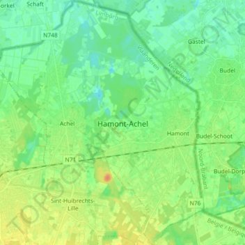
Name: Hamont-Achel topographic map, elevation, terrain.
Location: Hamont-Achel, Maaseik, Limbourg, Flandre, 3930, Belgique (51.20993 5.43839 51.30016 5.56031)
Average elevation: 35 m
Minimum elevation: 24 m
Maximum elevation: 52 m
Thank you for supporting this site ❤️
Make a donation
Make a donation
Other topographic maps
Click on a map to view its topography, its elevation and its terrain.