
McDonough topographic map
Interactive map
Click on the map to display elevation.
About this map
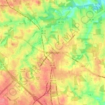
Name: McDonough topographic map, elevation, terrain.
Location: McDonough, Henry County, Georgia, 30253, United States (33.40734 -84.18686 33.48734 -84.10686)
Average elevation: 248 m
Minimum elevation: 201 m
Maximum elevation: 285 m