
清茶园 topographic map
Interactive map
Click on the map to display elevation.
About this map
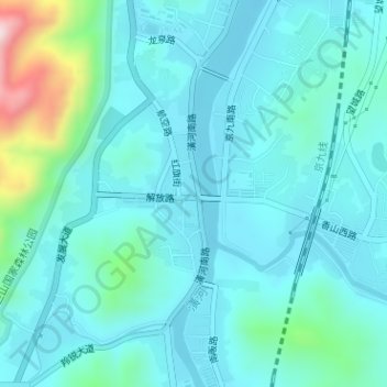
Name: 清茶园 topographic map, elevation, terrain.
Location: 清茶园, 红旗社区, 新集镇, 新县, 信阳市, 河南省, 中国 (31.62530 114.87012 31.62584 114.87084)
Average elevation: 138 m
Minimum elevation: 77 m
Maximum elevation: 464 m