
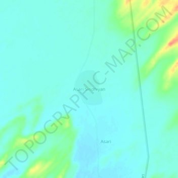
Asari Sindhiyan topographic map
Interactive map
Click on the map to display elevation.
About this map
Name: Asari Sindhiyan topographic map, elevation, terrain.
Average elevation: 179 m
Minimum elevation: 169 m
Maximum elevation: 218 m
Other topographic maps
Click on a map to view its topography, its elevation and its terrain.
Asari
India > Rajasthan > Gadraroad Tehsil
Asari, Gadraroad Tehsil, Barmer District, Rajasthan, India
Average elevation: 179 m