
Phillip Island topographic map
Interactive map
Click on the map to display elevation.
About this map
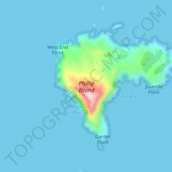
Name: Phillip Island topographic map, elevation, terrain.
Location: Phillip Island, Norfolk Island, Australia (-29.13162 167.94265 -29.11405 167.96559)
Average elevation: 19 m
Minimum elevation: -1 m
Maximum elevation: 254 m